Maps
 |
 |
 |
|
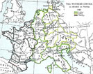
Europe in 843
AD |
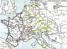
Europe
in 887 AD
Click on th map of the Western Empire to see a larger version http://historymedren.about.com/library/atlas/blatmapwestemp887.htm |
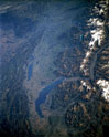
Click on
the photo to link to information about a NASA satelite photo of Suisse
Romande. The original very large photo can be found at or a 73773 bytes, interactive version athttp://www.fourmilab.ch/images/suisse_espace/ |
 |
 |
 |
|
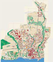
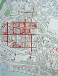
Click
on the map of modern Nyon to link to the indexed map on Nyon's web page
http://www.nyon.ch/plan/ca_00.htm |
Click on the map
to link to a very large map of modern Europe at the University of
Texas |
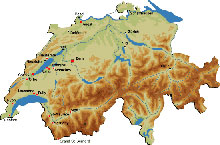
Click
on the map of Switzerland to link to archeo.info.ch's map of archaeology
sites in Switzerland http://www.archeo.info/FR/activites/sites/_ch_sites.html |
 |
 |
 |
|
Click on the icon to see an atlas depicting in 21 maps the states of Europe at the end of each century from AD 1 to AD 2000, designed and drawn by Christos Nüssli |
||
| Click
on the map of Nyon to see a larger version of the known Roman elements
in Nyon Map used with permission of the Archéologie cantonale Vaudoise - Archéodunum SA |
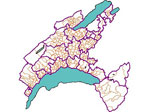
Click
on the map to link to an interactive map of the Canton of Vaud, Switzerland http://www.geoplanet.vd.ch/0_frame.asp?NAME=CADASTRE |
|
|
There are many interesting
old historical mapson-line in the Perry-Castañeda Library Map
Collection: Historical Maps of Europe at particularly |
||
| Europe
- Reference Map of the European Provinces of the Roman Empire From The Historical Atlas by William R. Shepherd, 1926. |
The
Roman Empire about 395 From The Historical Atlas by William R. Shepherd, 1911.Gaul in the time of Caesar |
Roman
Empire 1st Century A.D. (387K) |
| Links to maps of
the Roman world from the Dalton School's (New York City) Roman Project
Page http://www.dalton.org/groups/rome |
Other views of the Earth from space are available at http://earth.jsc.nasa.gov/sseop/efs/ |
|
|
the
Rhone River
|
This page was updated on 11 April, 2004 by K. Epps
Unless
otherwise mentioned, all photos are by Katharine Epps.
Sauf mention contraire les photos sont de Katharine Epps
nyon@isg-online.org